
It's a vast, unmodified tussock grassland, and a beautiful example of one.

Since I'd already spent much of the day unsuccessfully seeking trout, I didn't have time for anything other than a quick visit to some tarns.
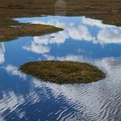
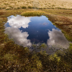
These are beautiful bodies of water, sitting in peat bogs and surrounded by a fantastic range of wetland plants. Next time, I'll definitely pack the macro lens.
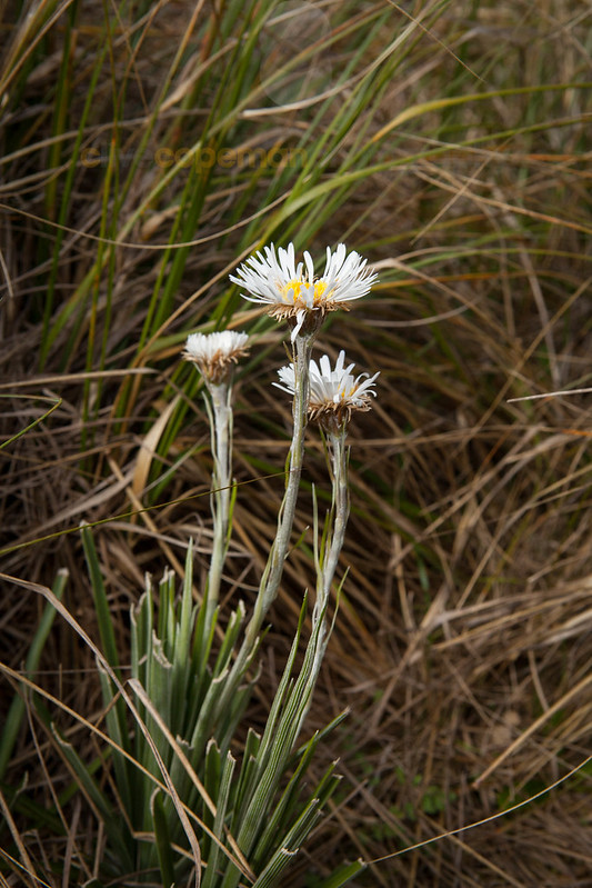
This area is the source of much of Dunedin's drinking water as it trickles over tussocks, through peat and down into the streams where it is captured and piped 65 Km to the city for treatment to remove the organic matter and remove microorganisms.
After just a couple of hours, I decided I had to return another time to do the place justice, and reluctantly headed back down the hill. (okay, not completely reluctantly, the evening rise was approaching and I was planning on visiting another stream on the way home). Then I spied something curious down the hill:
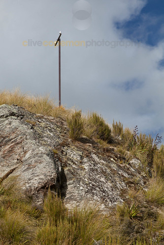
A lonely telephone (or telegraph) pole. Practically in the middle of nowhere. I couldn't resist departing from the track home and taking a side track to satisfy my curiousity. Glad I did. I discovered a hut.
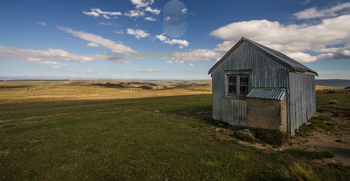
That's the view to the southeast. More interestingly, I discovered this.
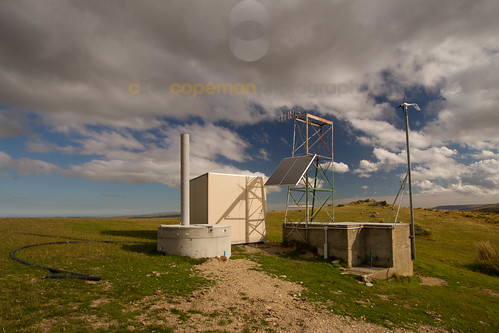
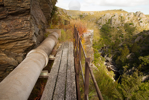
A telemetry station, presumably the replacement for what used to be attached to the old line. Then it dawned on me: I was near the source of the Deep Creek water intake. Just below the telemetry station, I found a gorge with the pipeline and walkway clinging to the steep sides.
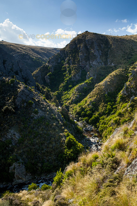
The fish could wait. I had to see more, so wandered a little further. Here's the view from the track in the middle of the face above, looking back down the gorge:
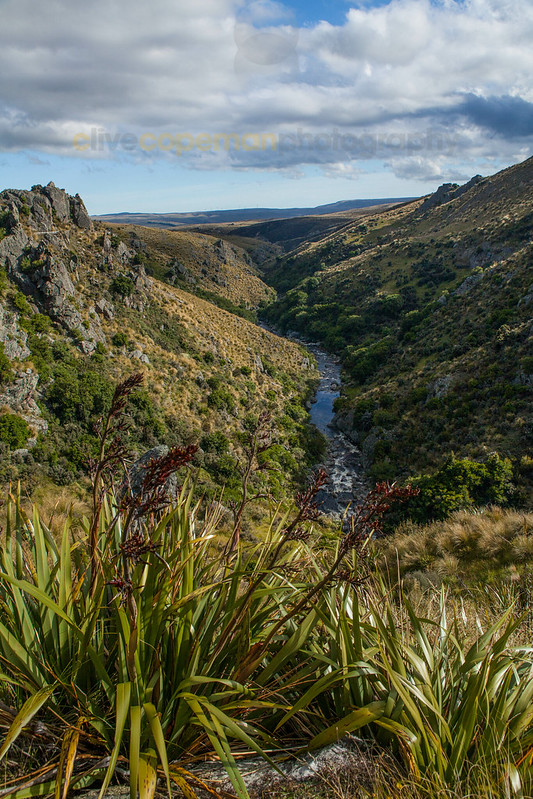
The original pipeline was put here in 1936, but was upgraded several years ago, along with some improvements to the path. It's narrow and there are some very sheer drops below to the water, but the boardwalk sections are well constructed and the protective railing is nice and sturdy.

I didn't get all the way up to the weir and water intake at the head of the gorge. Like the further exploration of the wetlands above, it can provide another day's adventure. Further downstream, the mayflies were starting to rise and the trout were waiting.

No comments:
Post a Comment